Church Street, St Albans
Introduction
The photograph on this page of Church Street, St Albans by Robin Stott as part of the Geograph project.
The Geograph project started in 2005 with the aim of publishing, organising and preserving representative images for every square kilometre of Great Britain, Ireland and the Isle of Man.

There are currently over 7.5m images from over 14,400 individuals and you can help contribute to the project by visiting https://www.geograph.org.uk
Church Street, St Albans
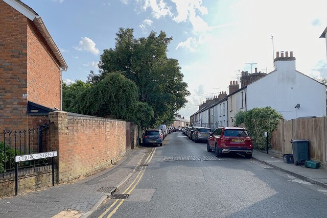
Image: © Robin Stott Taken: 21 Jun 2023
The view is southwest from the junction with Grange Street; early evening, June. Church Street turns downhill to join Bernard Street shortly before the junction with busy Catherine Street, A4147. Photo number 7602721.
Images are licensed for reuse under creativecommons.org/licenses/by-sa/2.0
Image Location
Latitude
51.756842
Longitude
-0.336706