The River Caldew near Caldewbeck
Introduction
The photograph on this page of The River Caldew near Caldewbeck by Adrian Taylor as part of the Geograph project.
The Geograph project started in 2005 with the aim of publishing, organising and preserving representative images for every square kilometre of Great Britain, Ireland and the Isle of Man.

There are currently over 7.5m images from over 14,400 individuals and you can help contribute to the project by visiting https://www.geograph.org.uk
The River Caldew near Caldewbeck
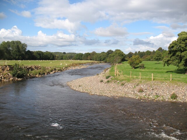
Image: © Adrian Taylor Taken: 17 Sep 2017
The fast flowing River Caldew rises high on the slopes of Skiddaw, carrying water from the northern fells of the Lake District to the River Eden at Carlisle. This stretch of the river is beside The Cumbria Way, which follows the public footpath along the west bank from Bell Bridge (photograph Image) to Rose Bridge.
Images are licensed for reuse under creativecommons.org/licenses/by-sa/2.0
Image Location


Leaflet Map data © OpenStreetMap
Latitude
54.790742
Longitude
-2.986876