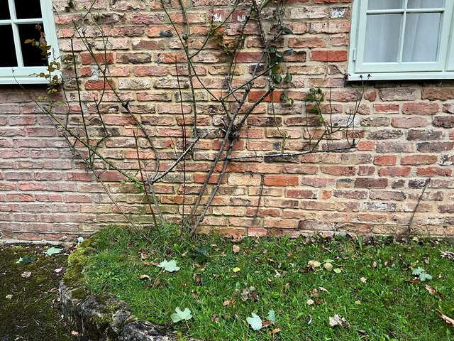
Outbuilding - Milner Lane Scotton (2)
Introduction
The photograph on this page of Outbuilding - Milner Lane Scotton (2) by Tez Exley as part of the Geograph project.
The Geograph project started in 2005 with the aim of publishing, organising and preserving representative images for every square kilometre of Great Britain, Ireland and the Isle of Man.
There are currently over 7.5m images from over 14,400 individuals and you can help contribute to the project by visiting https://www.geograph.org.uk

Image: © Tez Exley Taken: 20 Sep 2023
Outbuilding on Milner Lane near Scotton. There should be an Ordnance Survey benchmark cut into the brickwork in 1927 3.5m from the South end of the building. It looks like this may have been destroyed when the old farm building was converted into its current form. The benchmark would have been somewhere underneath the right hand part of the archway, probably just below the edge of the window at ground level. Wider photo of the building can be seen at the link below. Image]

