Windy path
Introduction
The photograph on this page of Windy path by Richard Sutcliffe as part of the Geograph project.
The Geograph project started in 2005 with the aim of publishing, organising and preserving representative images for every square kilometre of Great Britain, Ireland and the Isle of Man.

There are currently over 7.5m images from over 14,400 individuals and you can help contribute to the project by visiting https://www.geograph.org.uk
Windy path
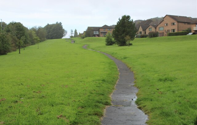
Image: © Richard Sutcliffe Taken: 18 Sep 2023
The path runs from one end of Moorfoot Way to the other. The houses on the right are on Paterson Place.
Images are licensed for reuse under creativecommons.org/licenses/by-sa/2.0
Image Location
Latitude
55.93342
Longitude
-4.351972