View towards Milngavie
Introduction
The photograph on this page of View towards Milngavie by Richard Sutcliffe as part of the Geograph project.
The Geograph project started in 2005 with the aim of publishing, organising and preserving representative images for every square kilometre of Great Britain, Ireland and the Isle of Man.

There are currently over 7.5m images from over 14,400 individuals and you can help contribute to the project by visiting https://www.geograph.org.uk
View towards Milngavie
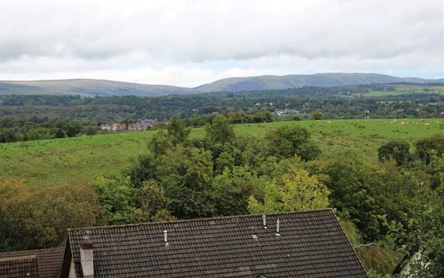
Image: © Richard Sutcliffe Taken: 18 Sep 2023
Looking from Moorfoot Way over trees beside Stockiemuir Road. There are then fields being grazed by cattle before the first houses in Milngavie can be seen. Few houses can be seen, as they are obscured by trees and the higher ground in between. The Campsie Fells are in the far distance.
Images are licensed for reuse under creativecommons.org/licenses/by-sa/2.0
Image Location
Latitude
55.935765
Longitude
-4.34683