Ruthrieston station
Introduction
The photograph on this page of Ruthrieston station by Peter Ward as part of the Geograph project.
The Geograph project started in 2005 with the aim of publishing, organising and preserving representative images for every square kilometre of Great Britain, Ireland and the Isle of Man.

There are currently over 7.5m images from over 14,400 individuals and you can help contribute to the project by visiting https://www.geograph.org.uk
Ruthrieston station
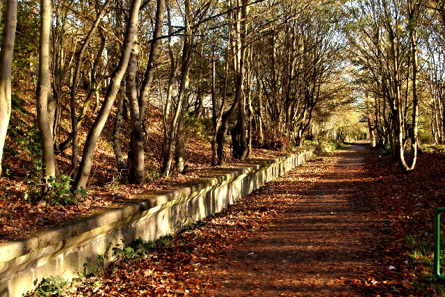
Image: © Peter Ward Taken: 9 Nov 2005
Former railway station on the Old Deeside Line (Now the ODL walk).
Images are licensed for reuse under creativecommons.org/licenses/by-sa/2.0
Image Location


Leaflet Map data © OpenStreetMap
Latitude
57.126859
Longitude
-2.128817