No65 Eleanor Road - Harrogate
Introduction
The photograph on this page of No65 Eleanor Road - Harrogate by Tez Exley as part of the Geograph project.
The Geograph project started in 2005 with the aim of publishing, organising and preserving representative images for every square kilometre of Great Britain, Ireland and the Isle of Man.

There are currently over 7.5m images from over 14,400 individuals and you can help contribute to the project by visiting https://www.geograph.org.uk
No65 Eleanor Road - Harrogate
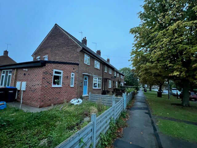
Image: © Tez Exley Taken: 19 Sep 2023
View of North East face on No65 Eleanor Road - Harrogate. There is an Ordnance Survey benchmark cut into the South East face of the original house on the East angle in 1977. This has now been lost behind the extension which has been built onto the end of the property at some point after this date. Links to associated photos can be seen below. Image]
Images are licensed for reuse under creativecommons.org/licenses/by-sa/2.0
Image Location
Latitude
53.989733
Longitude
-1.49941