Path by Merrion Camp fence
Introduction
The photograph on this page of Path by Merrion Camp fence by M J Roscoe as part of the Geograph project.
The Geograph project started in 2005 with the aim of publishing, organising and preserving representative images for every square kilometre of Great Britain, Ireland and the Isle of Man.

There are currently over 7.5m images from over 14,400 individuals and you can help contribute to the project by visiting https://www.geograph.org.uk
Path by Merrion Camp fence
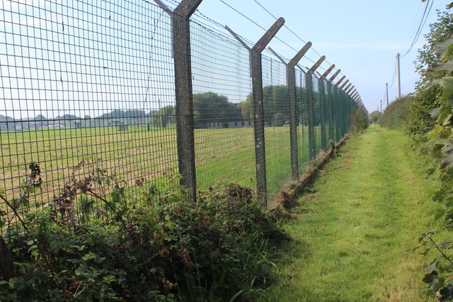
Image: © M J Roscoe Taken: 8 Sep 2023
The Coast Path runs parallel with the B4319 between the boundary fence and the roadside hedgerow. To the west from here, generally, where the Castlemartin Trail goes alongside a road a grassy permissive path has been created - separated from the road by fences and/or a hedgerow.
Images are licensed for reuse under creativecommons.org/licenses/by-sa/2.0
Image Location
Latitude
51.633304
Longitude
-4.973293