Douglas Water viewed from Ponfeigh Bridge
Introduction
The photograph on this page of Douglas Water viewed from Ponfeigh Bridge by Alan O'Dowd as part of the Geograph project.
The Geograph project started in 2005 with the aim of publishing, organising and preserving representative images for every square kilometre of Great Britain, Ireland and the Isle of Man.

There are currently over 7.5m images from over 14,400 individuals and you can help contribute to the project by visiting https://www.geograph.org.uk
Douglas Water viewed from Ponfeigh Bridge
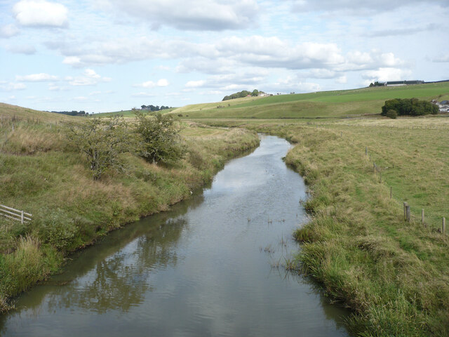
Image: © Alan O'Dowd Taken: 12 Sep 2023
The Douglas Water is a tributary of the Clyde, rising on Cairn Table near Muirkirk, and joining the Clyde just upstream of Lanark. Ponfeigh is pronounced 'pon-feech', with the 'ch' sound as in 'loch'.
Images are licensed for reuse under creativecommons.org/licenses/by-sa/2.0
Image Location
Latitude
55.610413
Longitude
-3.792902