Pond, Hillside Farm
Introduction
The photograph on this page of Pond, Hillside Farm by Simon Carey as part of the Geograph project.
The Geograph project started in 2005 with the aim of publishing, organising and preserving representative images for every square kilometre of Great Britain, Ireland and the Isle of Man.

There are currently over 7.5m images from over 14,400 individuals and you can help contribute to the project by visiting https://www.geograph.org.uk
Pond, Hillside Farm
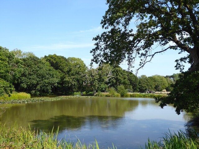
Image: © Simon Carey Taken: 10 Sep 2023
Parts were marked on Ashburnham's 1839 tithe map whilst the full extant of the current pond existed by the time of the 1897 OS survey. Currently used for fishing.
Images are licensed for reuse under creativecommons.org/licenses/by-sa/2.0
Image Location
Latitude
50.926172
Longitude
0.381423