Molehill Road
Introduction
The photograph on this page of Molehill Road by Marathon as part of the Geograph project.
The Geograph project started in 2005 with the aim of publishing, organising and preserving representative images for every square kilometre of Great Britain, Ireland and the Isle of Man.

There are currently over 7.5m images from over 14,400 individuals and you can help contribute to the project by visiting https://www.geograph.org.uk
Molehill Road
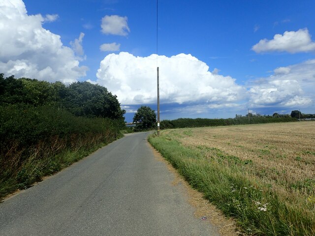
Image: © Marathon Taken: 26 Aug 2023
The footpath on the left here, opposite the pole, leading to Maydowns Road has been re-routed compared to the OS Map which shows it starting further around the bend.
Images are licensed for reuse under creativecommons.org/licenses/by-sa/2.0
Image Location
Latitude
51.35321
Longitude
1.08219