Blair Tower.
Introduction
The photograph on this page of Blair Tower. by Richard Webb as part of the Geograph project.
The Geograph project started in 2005 with the aim of publishing, organising and preserving representative images for every square kilometre of Great Britain, Ireland and the Isle of Man.

There are currently over 7.5m images from over 14,400 individuals and you can help contribute to the project by visiting https://www.geograph.org.uk
Blair Tower.
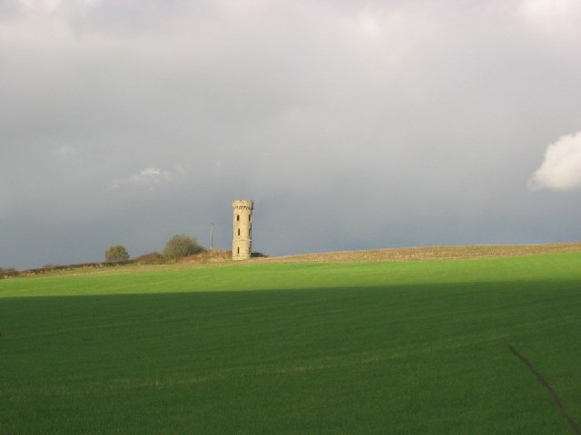
Image: © Richard Webb Taken: 9 Nov 2005
Folly above Oakley. Lording it over winter arable crops. A local website says there were once woods here too. Just farmland now.
Images are licensed for reuse under creativecommons.org/licenses/by-sa/2.0
Image Location


Leaflet Map data © OpenStreetMap
Latitude
56.089317
Longitude
-3.560496