Berkeley Heath
Introduction
The photograph on this page of Berkeley Heath by Roger May as part of the Geograph project.
The Geograph project started in 2005 with the aim of publishing, organising and preserving representative images for every square kilometre of Great Britain, Ireland and the Isle of Man.

There are currently over 7.5m images from over 14,400 individuals and you can help contribute to the project by visiting https://www.geograph.org.uk
Berkeley Heath
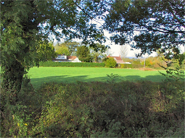
Image: © Roger May Taken: 9 Nov 2005
Section of grazing land sandwiched between the A38 and its intersection with the B4066 opposite Pickwick Farm.
Images are licensed for reuse under creativecommons.org/licenses/by-sa/2.0
Image Location


Leaflet Map data © OpenStreetMap
Latitude
51.690772
Longitude
-2.428166