Smiths Lane, Piddletrenthide
Introduction
The photograph on this page of Smiths Lane, Piddletrenthide by Derek Harper as part of the Geograph project.
The Geograph project started in 2005 with the aim of publishing, organising and preserving representative images for every square kilometre of Great Britain, Ireland and the Isle of Man.

There are currently over 7.5m images from over 14,400 individuals and you can help contribute to the project by visiting https://www.geograph.org.uk
Smiths Lane, Piddletrenthide
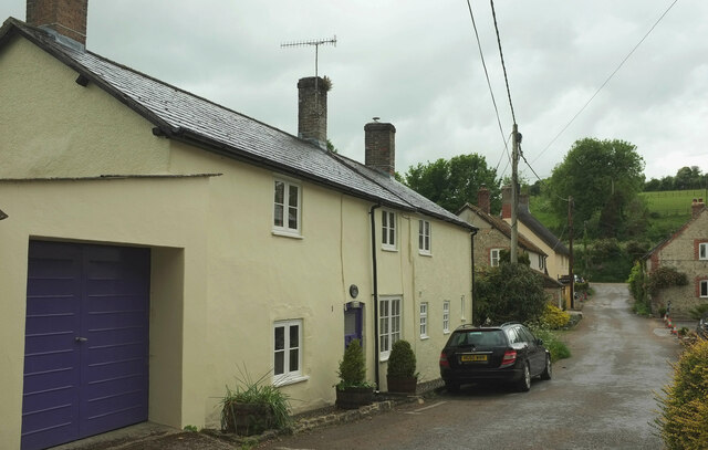
Image: © Derek Harper Taken: 23 May 2022
Connecting the B3143 (behind camera) with bridleway S36 25, the two running roughly parallel down the Piddle valley.
Images are licensed for reuse under creativecommons.org/licenses/by-sa/2.0
Image Location


Leaflet Map data © OpenStreetMap
Latitude
50.80068
Longitude
-2.423238