Canterbury: up Norman Road
Introduction
The photograph on this page of Canterbury: up Norman Road by John Sutton as part of the Geograph project.
The Geograph project started in 2005 with the aim of publishing, organising and preserving representative images for every square kilometre of Great Britain, Ireland and the Isle of Man.

There are currently over 7.5m images from over 14,400 individuals and you can help contribute to the project by visiting https://www.geograph.org.uk
Canterbury: up Norman Road
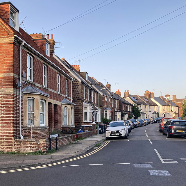
Image: © John Sutton Taken: 9 Sep 2023
On the evening of the hottest day of the year to date, at the end of a very warm week in early September 2023.
Images are licensed for reuse under creativecommons.org/licenses/by-sa/2.0
Image Location
Latitude
51.272666
Longitude
1.080378