Entrance to Southdeen Play Area
Introduction
The photograph on this page of Entrance to Southdeen Play Area by Richard Sutcliffe as part of the Geograph project.
The Geograph project started in 2005 with the aim of publishing, organising and preserving representative images for every square kilometre of Great Britain, Ireland and the Isle of Man.

There are currently over 7.5m images from over 14,400 individuals and you can help contribute to the project by visiting https://www.geograph.org.uk
Entrance to Southdeen Play Area
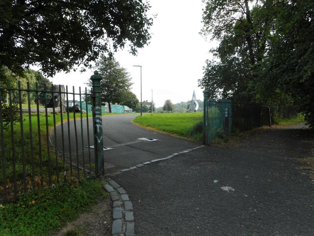
Image: © Richard Sutcliffe Taken: 6 Sep 2023
There are netball courts, a skatepark and various climbing frames in the area beside where Garscadden House once was. The 17th century house was burnt down in 1959.
Images are licensed for reuse under creativecommons.org/licenses/by-sa/2.0
Image Location
Latitude
55.909433
Longitude
-4.36556