Maybole Community Campus
Introduction
The photograph on this page of Maybole Community Campus by Mary and Angus Hogg as part of the Geograph project.
The Geograph project started in 2005 with the aim of publishing, organising and preserving representative images for every square kilometre of Great Britain, Ireland and the Isle of Man.

There are currently over 7.5m images from over 14,400 individuals and you can help contribute to the project by visiting https://www.geograph.org.uk
Maybole Community Campus
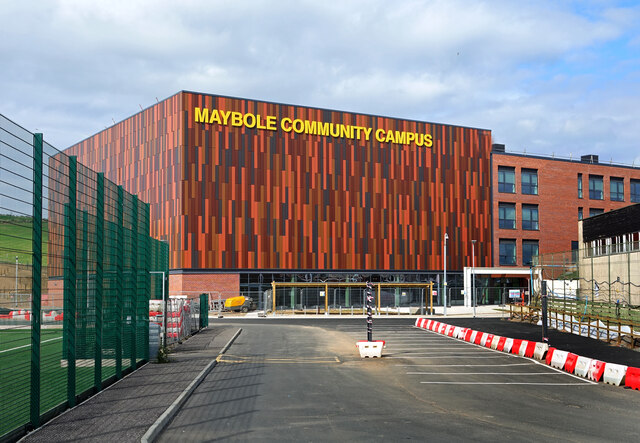
Image: © Mary and Angus Hogg Taken: 9 Sep 2023
This view shows the sports pavilion end of the new Community Campus. The development includes a new swimming pool which will be made available to the public outside school hours.
Images are licensed for reuse under creativecommons.org/licenses/by-sa/2.0
Image Location
Latitude
55.351336
Longitude
-4.696733