Western edge of Holcombe
Introduction
The photograph on this page of Western edge of Holcombe by Derek Harper as part of the Geograph project.
The Geograph project started in 2005 with the aim of publishing, organising and preserving representative images for every square kilometre of Great Britain, Ireland and the Isle of Man.

There are currently over 7.5m images from over 14,400 individuals and you can help contribute to the project by visiting https://www.geograph.org.uk
Western edge of Holcombe
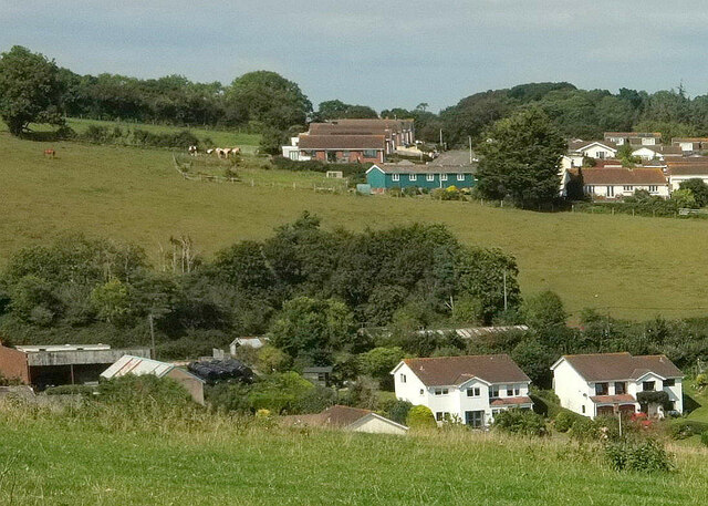
Image: © Derek Harper Taken: 3 Sep 2023
At the top are houses on Sweetbriar Lane. Below are buildings at Court Farm and Manor Farm, with houses on Brook Close.
Images are licensed for reuse under creativecommons.org/licenses/by-sa/2.0
Image Location
Latitude
50.566023
Longitude
-3.482523