Inverness, Tomnahurich bridge
Introduction
The photograph on this page of Inverness, Tomnahurich bridge by Colin Prosser as part of the Geograph project.
The Geograph project started in 2005 with the aim of publishing, organising and preserving representative images for every square kilometre of Great Britain, Ireland and the Isle of Man.

There are currently over 7.5m images from over 14,400 individuals and you can help contribute to the project by visiting https://www.geograph.org.uk
Inverness, Tomnahurich bridge
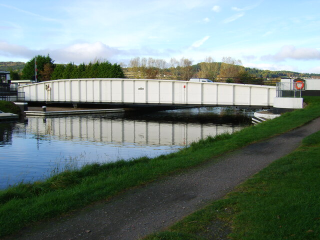
Image: © Colin Prosser Taken: 13 Oct 2007
Inverness, Tomnahurich bridge, this swings to one side, to let boats up and down the Caledonian Canal
Images are licensed for reuse under creativecommons.org/licenses/by-sa/2.0
Image Location
Latitude
57.464825
Longitude
-4.244258