Redundant field entrance opposite Woodhead Farm
Introduction
The photograph on this page of Redundant field entrance opposite Woodhead Farm by Bill Boaden as part of the Geograph project.
The Geograph project started in 2005 with the aim of publishing, organising and preserving representative images for every square kilometre of Great Britain, Ireland and the Isle of Man.

There are currently over 7.5m images from over 14,400 individuals and you can help contribute to the project by visiting https://www.geograph.org.uk
Redundant field entrance opposite Woodhead Farm
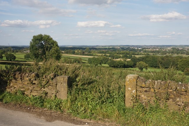
Image: © Bill Boaden Taken: 2 Sep 2023
The field appears to have lain fallow for some time. There is a view beyond to the catchment area of the River Rother.
Images are licensed for reuse under creativecommons.org/licenses/by-sa/2.0
Image Location


Leaflet Map data © OpenStreetMap
Latitude
53.159884
Longitude
-1.449438