Shared Use Path, Burton Green
Introduction
The photograph on this page of Shared Use Path, Burton Green by Paul Collins as part of the Geograph project.
The Geograph project started in 2005 with the aim of publishing, organising and preserving representative images for every square kilometre of Great Britain, Ireland and the Isle of Man.

There are currently over 7.5m images from over 14,400 individuals and you can help contribute to the project by visiting https://www.geograph.org.uk
Shared Use Path, Burton Green
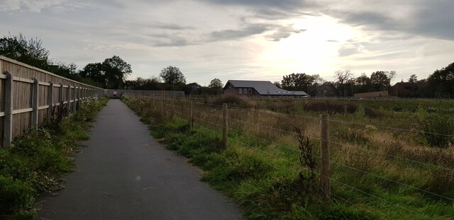
Image: © Paul Collins Taken: 10 Sep 2023
This shared use path is quite newly constructed and forms part of the Kenilworth Greenway HS2 diversion which is in place for the duration of the works. The new Burton Green village hall is in the background.
Images are licensed for reuse under creativecommons.org/licenses/by-sa/2.0
Image Location


Leaflet Map data © OpenStreetMap
Latitude
52.377415
Longitude
-1.603767