Avon Valley Path skirts Kingfisher Lake, Blashford
Introduction
The photograph on this page of Avon Valley Path skirts Kingfisher Lake, Blashford by Peter Facey as part of the Geograph project.
The Geograph project started in 2005 with the aim of publishing, organising and preserving representative images for every square kilometre of Great Britain, Ireland and the Isle of Man.

There are currently over 7.5m images from over 14,400 individuals and you can help contribute to the project by visiting https://www.geograph.org.uk
Avon Valley Path skirts Kingfisher Lake, Blashford
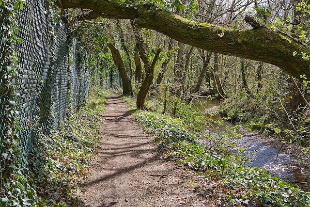
Image: © Peter Facey Taken: 11 Apr 2008
The path is sandwiched between the perimeter fence of the lake and Lin Brook. A rather annoying design because there is a bank and planting within the fence at left which provides almost no view of the lake.
Images are licensed for reuse under creativecommons.org/licenses/by-sa/2.0
Image Location


Leaflet Map data © OpenStreetMap
Latitude
50.860239
Longitude
-1.78299