Cut Benchmark - No5 York Road - Knaresborough (2)
Introduction
The photograph on this page of Cut Benchmark - No5 York Road - Knaresborough (2) by Tez Exley as part of the Geograph project.
The Geograph project started in 2005 with the aim of publishing, organising and preserving representative images for every square kilometre of Great Britain, Ireland and the Isle of Man.

There are currently over 7.5m images from over 14,400 individuals and you can help contribute to the project by visiting https://www.geograph.org.uk
Cut Benchmark - No5 York Road - Knaresborough (2)
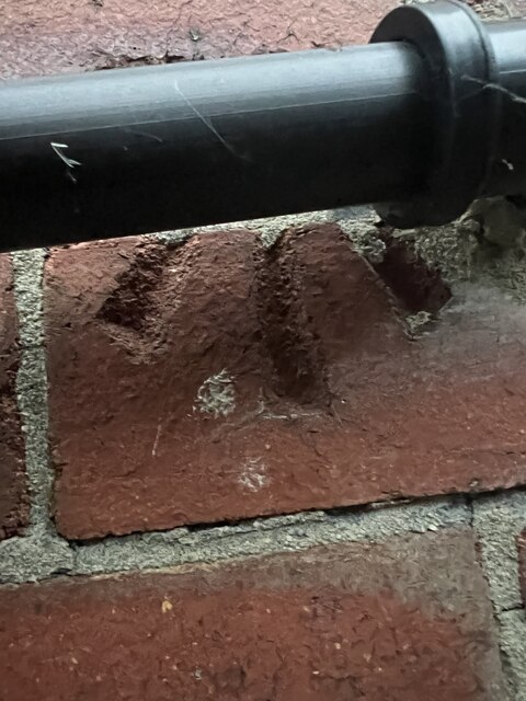
Image: © Tez Exley Taken: 11 Sep 2023
Arrow cut Ordnance Survey benchmark on the North West face of No5 York Road in Knaresborough The arrow cut has been obscured by the waste water pipe, the Datum line can be seen from above Links to the Datum cut and associated photos can be seen below Image] Image] Image]
Images are licensed for reuse under creativecommons.org/licenses/by-sa/2.0
Image Location
Latitude
54.005923
Longitude
-1.460614