Fields near Davis's Bottom
Introduction
The photograph on this page of Fields near Davis's Bottom by Jonathan Clitheroe as part of the Geograph project.
The Geograph project started in 2005 with the aim of publishing, organising and preserving representative images for every square kilometre of Great Britain, Ireland and the Isle of Man.

There are currently over 7.5m images from over 14,400 individuals and you can help contribute to the project by visiting https://www.geograph.org.uk
Fields near Davis's Bottom
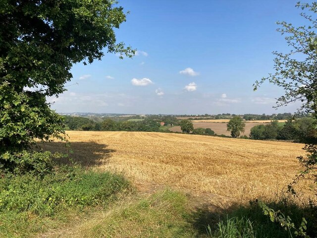
Image: © Jonathan Clitheroe Taken: 9 Sep 2023
The line of trees beyond the stubble field marks the route of Cuttall Brook. Junction 27 of the M1 is little more than a stone's throw away behind this position but there's nothing to suggest it here.
Images are licensed for reuse under creativecommons.org/licenses/by-sa/2.0
Image Location
Latitude
53.068395
Longitude
-1.269425