Harvested field on Smithy Moor
Introduction
The photograph on this page of Harvested field on Smithy Moor by Bill Boaden as part of the Geograph project.
The Geograph project started in 2005 with the aim of publishing, organising and preserving representative images for every square kilometre of Great Britain, Ireland and the Isle of Man.

There are currently over 7.5m images from over 14,400 individuals and you can help contribute to the project by visiting https://www.geograph.org.uk
Harvested field on Smithy Moor
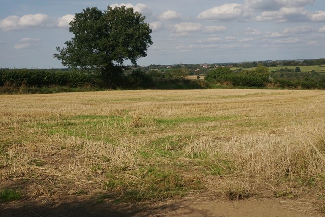
Image: © Bill Boaden Taken: 2 Sep 2023
In the far centre is the spire of St Bartholomew's Church in Clay Cross.
Images are licensed for reuse under creativecommons.org/licenses/by-sa/2.0
Image Location
Latitude
53.147411
Longitude
-1.434945