Footpath to East Barnet
Introduction
The photograph on this page of Footpath to East Barnet by Christine Matthews as part of the Geograph project.
The Geograph project started in 2005 with the aim of publishing, organising and preserving representative images for every square kilometre of Great Britain, Ireland and the Isle of Man.

There are currently over 7.5m images from over 14,400 individuals and you can help contribute to the project by visiting https://www.geograph.org.uk
Footpath to East Barnet
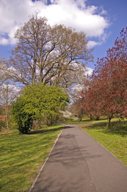
Image: © Christine Matthews Taken: 9 Apr 2008
This footpath runs from Waterfall Road near the Viaduct alongside Pymme's Brook to East Barnet. Pymme's Brook is to the left of the path.
Images are licensed for reuse under creativecommons.org/licenses/by-sa/2.0
Image Location
Latitude
51.622809
Longitude
-0.135748