View towards mouth of Quoits Water Pill
Introduction
The photograph on this page of View towards mouth of Quoits Water Pill by M J Roscoe as part of the Geograph project.
The Geograph project started in 2005 with the aim of publishing, organising and preserving representative images for every square kilometre of Great Britain, Ireland and the Isle of Man.

There are currently over 7.5m images from over 14,400 individuals and you can help contribute to the project by visiting https://www.geograph.org.uk
View towards mouth of Quoits Water Pill
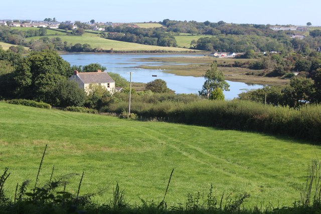
Image: © M J Roscoe Taken: 2 Sep 2023
Grey Silk Farm (aka Fleet Farm) is on the left. The pill flows into the Pembroke River and part of Pennar is on the far bank.
Images are licensed for reuse under creativecommons.org/licenses/by-sa/2.0
Image Location
Latitude
51.674268
Longitude
-4.939524