Endrick Water and A811
Introduction
The photograph on this page of Endrick Water and A811 by Richard Webb as part of the Geograph project.
The Geograph project started in 2005 with the aim of publishing, organising and preserving representative images for every square kilometre of Great Britain, Ireland and the Isle of Man.

There are currently over 7.5m images from over 14,400 individuals and you can help contribute to the project by visiting https://www.geograph.org.uk
Endrick Water and A811
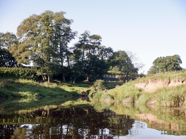
Image: © Richard Webb Taken: 5 Sep 2023
Below Catter House with the Drymen Show Field on the right.
Images are licensed for reuse under creativecommons.org/licenses/by-sa/2.0
Image Location
Latitude
56.05363
Longitude
-4.455653