The Geopark Way
Introduction
The photograph on this page of The Geopark Way by Fabian Musto as part of the Geograph project.
The Geograph project started in 2005 with the aim of publishing, organising and preserving representative images for every square kilometre of Great Britain, Ireland and the Isle of Man.

There are currently over 7.5m images from over 14,400 individuals and you can help contribute to the project by visiting https://www.geograph.org.uk
The Geopark Way
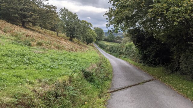
Image: © Fabian Musto Taken: 7 Oct 2021
The Geopark Way is a long-distance trail that travels through the counties of Shropshire, Worcestershire, Herefordshire and Gloucestershire. It runs from Bridgnorth (Shropshire) to Gloucester (Gloucestershire) for 109 miles (175 km), and this section of the trail is west of Midsummer Hill in the Malvern Hills range.
Images are licensed for reuse under creativecommons.org/licenses/by-sa/2.0
Image Location
Latitude
52.034561
Longitude
-2.354475