The village green at West Burton
Introduction
The photograph on this page of The village green at West Burton by Marathon as part of the Geograph project.
The Geograph project started in 2005 with the aim of publishing, organising and preserving representative images for every square kilometre of Great Britain, Ireland and the Isle of Man.

There are currently over 7.5m images from over 14,400 individuals and you can help contribute to the project by visiting https://www.geograph.org.uk
The village green at West Burton
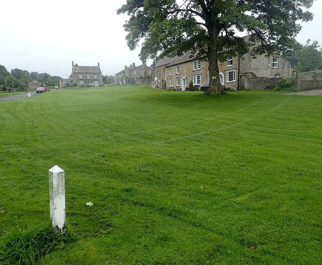
Image: © Marathon Taken: 18 Aug 2023
The cottages of West Burton cluster around the village green - this is thought to be one of the largest village greens in the country.
Images are licensed for reuse under creativecommons.org/licenses/by-sa/2.0
Image Location


Leaflet Map data © OpenStreetMap
Latitude
54.274775
Longitude
-1.976317