Lane in West Burton
Introduction
The photograph on this page of Lane in West Burton by Marathon as part of the Geograph project.
The Geograph project started in 2005 with the aim of publishing, organising and preserving representative images for every square kilometre of Great Britain, Ireland and the Isle of Man.

There are currently over 7.5m images from over 14,400 individuals and you can help contribute to the project by visiting https://www.geograph.org.uk
Lane in West Burton
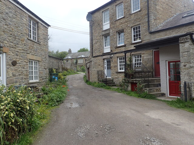
Image: © Marathon Taken: 18 Aug 2023
This is where the riverside walk to West Burton Falls re-enters the village.
Images are licensed for reuse under creativecommons.org/licenses/by-sa/2.0
Image Location
Latitude
54.276303
Longitude
-1.973244