The Melindwr Valley
Introduction
The photograph on this page of The Melindwr Valley by John Lucas as part of the Geograph project.
The Geograph project started in 2005 with the aim of publishing, organising and preserving representative images for every square kilometre of Great Britain, Ireland and the Isle of Man.

There are currently over 7.5m images from over 14,400 individuals and you can help contribute to the project by visiting https://www.geograph.org.uk
The Melindwr Valley
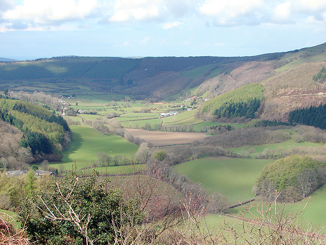
Image: © John Lucas Taken: 10 Apr 2008
Viewed from the A44 road at Cwmbrwyno. Afon Melindwr is a short river of some 5 miles length. It is a tributary of the Rheidol into which it flows just below Capel Bangor in square Image
Images are licensed for reuse under creativecommons.org/licenses/by-sa/2.0
Image Location


Leaflet Map data © OpenStreetMap
Latitude
52.413925
Longitude
-3.907788