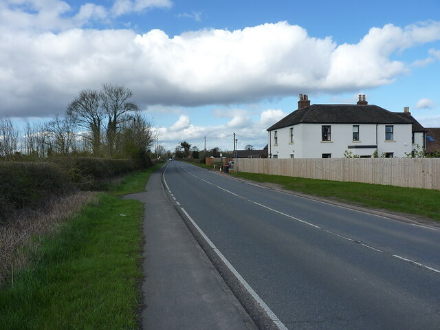
Tamworth Road passing Manor Farm
Introduction
The photograph on this page of Tamworth Road passing Manor Farm by Richard Law as part of the Geograph project.
The Geograph project started in 2005 with the aim of publishing, organising and preserving representative images for every square kilometre of Great Britain, Ireland and the Isle of Man.
There are currently over 7.5m images from over 14,400 individuals and you can help contribute to the project by visiting https://www.geograph.org.uk

Image: © Richard Law Taken: 6 Apr 2023
Just north of the M42 motorway bridge. The building is called Manor Farm on the 1:25000 OS map, and Manor House Farm on the 1:50000 scale. Either way, I suspect it's no longer a working farm, with the house and barns just out of sight on the far side now converted to residential use.

