Ermine Street (aka High Dike) north of Ancaster
Introduction
The photograph on this page of Ermine Street (aka High Dike) north of Ancaster by Tim Heaton as part of the Geograph project.
The Geograph project started in 2005 with the aim of publishing, organising and preserving representative images for every square kilometre of Great Britain, Ireland and the Isle of Man.

There are currently over 7.5m images from over 14,400 individuals and you can help contribute to the project by visiting https://www.geograph.org.uk
Ermine Street (aka High Dike) north of Ancaster
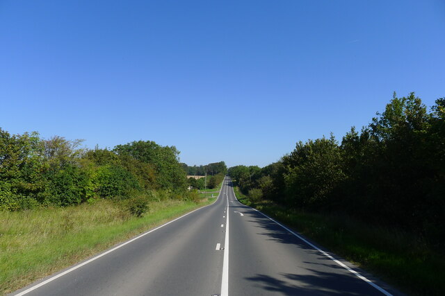
Image: © Tim Heaton Taken: 4 Sep 2023
The start of a remarkably straight 11 miles of road and green lane to the outskirts of Lincoln
Images are licensed for reuse under creativecommons.org/licenses/by-sa/2.0
Image Location
Latitude
52.995677
Longitude
-0.531181