View from Vurlands Farm over Swyre to the Knoll
Introduction
The photograph on this page of View from Vurlands Farm over Swyre to the Knoll by Nigel Mykura as part of the Geograph project.
The Geograph project started in 2005 with the aim of publishing, organising and preserving representative images for every square kilometre of Great Britain, Ireland and the Isle of Man.

There are currently over 7.5m images from over 14,400 individuals and you can help contribute to the project by visiting https://www.geograph.org.uk
View from Vurlands Farm over Swyre to the Knoll
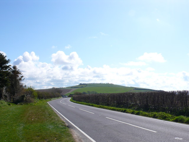
Image: © Nigel Mykura Taken: 10 Apr 2008
The entrance to Vurlands Farm on the B3157 is just west of Swyre but the village is hidden in the dip. The hill on the other side of the valley, The Knoll can be clearly seen
Images are licensed for reuse under creativecommons.org/licenses/by-sa/2.0
Image Location


Leaflet Map data © OpenStreetMap
Latitude
50.69177
Longitude
-2.673549