Block of flats on Gregory Hood Road, the Stonebridge Estate
Introduction
The photograph on this page of Block of flats on Gregory Hood Road, the Stonebridge Estate by A J Paxton as part of the Geograph project.
The Geograph project started in 2005 with the aim of publishing, organising and preserving representative images for every square kilometre of Great Britain, Ireland and the Isle of Man.

There are currently over 7.5m images from over 14,400 individuals and you can help contribute to the project by visiting https://www.geograph.org.uk
Block of flats on Gregory Hood Road, the Stonebridge Estate
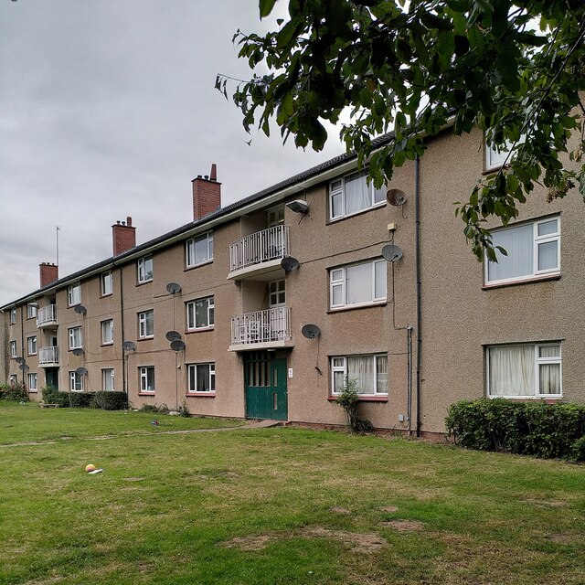
Image: © A J Paxton Taken: 29 Aug 2023
These council flats were built in 1950-51 by Wimpey, using the 'no fines' method (concrete without fine, sandy aggregates, a cheaper method of building) for the Coventry City Architect's Department under Donald Gibson. See Image] for further information.
Images are licensed for reuse under creativecommons.org/licenses/by-sa/2.0
Image Location
Latitude
52.380362
Longitude
-1.501094