Rough Moorland
Introduction
The photograph on this page of Rough Moorland by Aleks Scholz as part of the Geograph project.
The Geograph project started in 2005 with the aim of publishing, organising and preserving representative images for every square kilometre of Great Britain, Ireland and the Isle of Man.

There are currently over 7.5m images from over 14,400 individuals and you can help contribute to the project by visiting https://www.geograph.org.uk
Rough Moorland
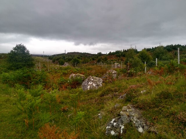
Image: © Aleks Scholz Taken: 3 Sep 2023
View from the road towards Rannoch Station. Gentle, but pretty inaccessible slopes.
Images are licensed for reuse under creativecommons.org/licenses/by-sa/2.0
Image Location
Latitude
56.680639
Longitude
-4.507107