Greenfield Lane, Wolverhampton
Introduction
The photograph on this page of Greenfield Lane, Wolverhampton by Adrian Bailey as part of the Geograph project.
The Geograph project started in 2005 with the aim of publishing, organising and preserving representative images for every square kilometre of Great Britain, Ireland and the Isle of Man.

There are currently over 7.5m images from over 14,400 individuals and you can help contribute to the project by visiting https://www.geograph.org.uk
Greenfield Lane, Wolverhampton
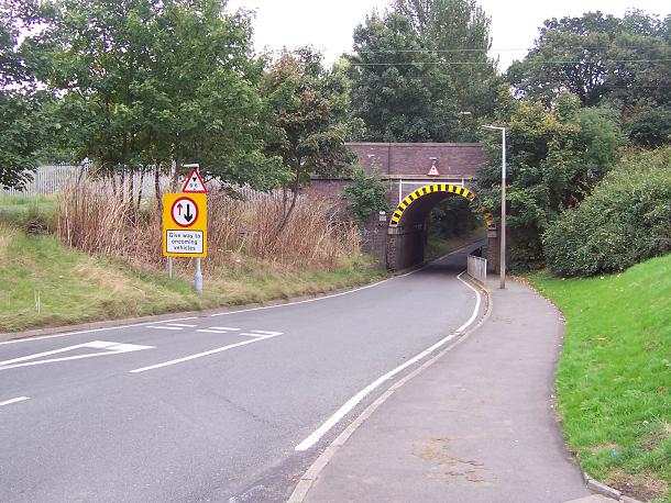
Image: © Adrian Bailey Taken: 11 Oct 2005
Typical of most of the narrow and low headroom bridges under the Wolverhampton to Stafford line. These catch out the occasional high vehicles and can sometimes flood in heavy rainfall.
Images are licensed for reuse under creativecommons.org/licenses/by-sa/2.0
Image Location


Leaflet Map data © OpenStreetMap
Latitude
52.633691
Longitude
-2.11964