Mansfield Road
Introduction
The photograph on this page of Mansfield Road by David Lally as part of the Geograph project.
The Geograph project started in 2005 with the aim of publishing, organising and preserving representative images for every square kilometre of Great Britain, Ireland and the Isle of Man.

There are currently over 7.5m images from over 14,400 individuals and you can help contribute to the project by visiting https://www.geograph.org.uk
Mansfield Road
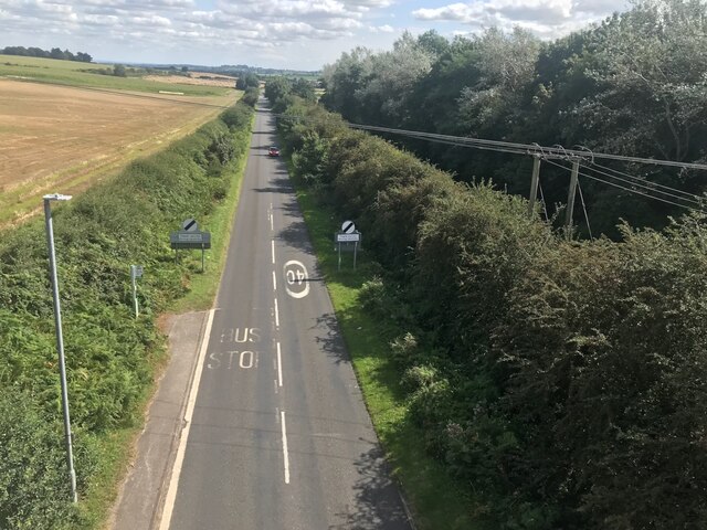
Image: © David Lally Taken: 31 Aug 2023
The road name is obviously attached to Farnsfield about 4 kilometres in the direction of view. As it will head toward Mansfield from there. Taken from a railway bridge which now forms part of NCN Route 6. Image
Images are licensed for reuse under creativecommons.org/licenses/by-sa/2.0
Image Location
Latitude
53.112553
Longitude
-1.101651