Former RAF hangar
Introduction
The photograph on this page of Former RAF hangar by Kevin Waterhouse as part of the Geograph project.
The Geograph project started in 2005 with the aim of publishing, organising and preserving representative images for every square kilometre of Great Britain, Ireland and the Isle of Man.

There are currently over 7.5m images from over 14,400 individuals and you can help contribute to the project by visiting https://www.geograph.org.uk
Former RAF hangar
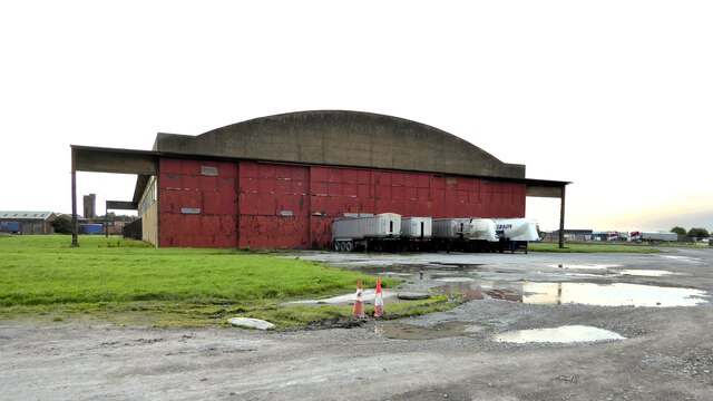
Image: © Kevin Waterhouse Taken: 22 Aug 2023
At the former Silloth airfield now used in connection with road transport
Images are licensed for reuse under creativecommons.org/licenses/by-sa/2.0
Image Location
Latitude
54.871213
Longitude
-3.371572