The Dales, Sunderlands Ave
Introduction
The photograph on this page of The Dales, Sunderlands Ave by Keith Edkins as part of the Geograph project.
The Geograph project started in 2005 with the aim of publishing, organising and preserving representative images for every square kilometre of Great Britain, Ireland and the Isle of Man.

There are currently over 7.5m images from over 14,400 individuals and you can help contribute to the project by visiting https://www.geograph.org.uk
The Dales, Sunderlands Ave
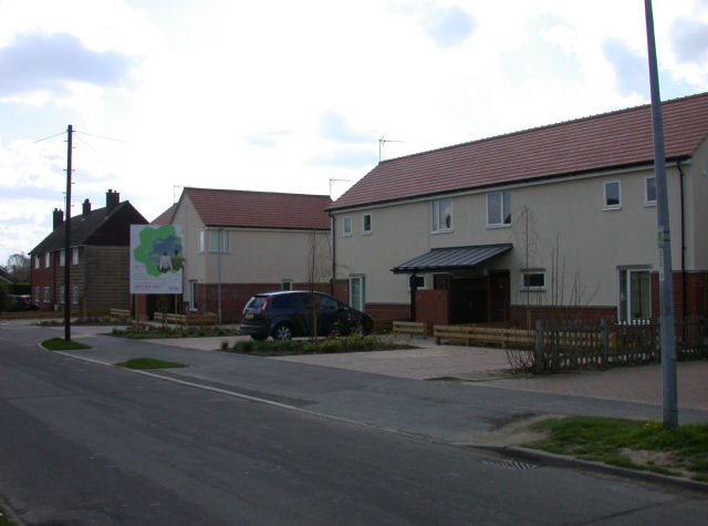
Image: © Keith Edkins Taken: 9 Apr 2008
New housing just completed.
Images are licensed for reuse under creativecommons.org/licenses/by-sa/2.0
Image Location
Latitude
52.126258
Longitude
0.174752