Footpath through an arable field
Introduction
The photograph on this page of Footpath through an arable field by Philip Halling as part of the Geograph project.
The Geograph project started in 2005 with the aim of publishing, organising and preserving representative images for every square kilometre of Great Britain, Ireland and the Isle of Man.

There are currently over 7.5m images from over 14,400 individuals and you can help contribute to the project by visiting https://www.geograph.org.uk
Footpath through an arable field
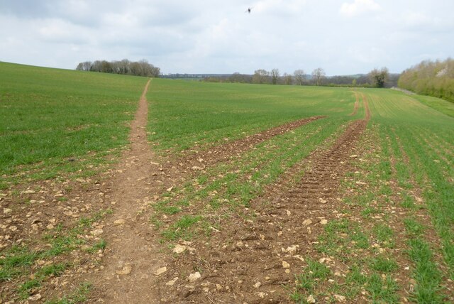
Image: © Philip Halling Taken: 29 Apr 2023
A footpath, which is the route of both the Warden's Way and Diamond Way, passing through a field with a cereal crop beginning to grow.
Images are licensed for reuse under creativecommons.org/licenses/by-sa/2.0
Image Location
Latitude
51.909666
Longitude
-1.847607