St Augustine, Thorpe Bay - SW elevation
Introduction
The photograph on this page of St Augustine, Thorpe Bay - SW elevation by David Kemp as part of the Geograph project.
The Geograph project started in 2005 with the aim of publishing, organising and preserving representative images for every square kilometre of Great Britain, Ireland and the Isle of Man.

There are currently over 7.5m images from over 14,400 individuals and you can help contribute to the project by visiting https://www.geograph.org.uk
St Augustine, Thorpe Bay - SW elevation
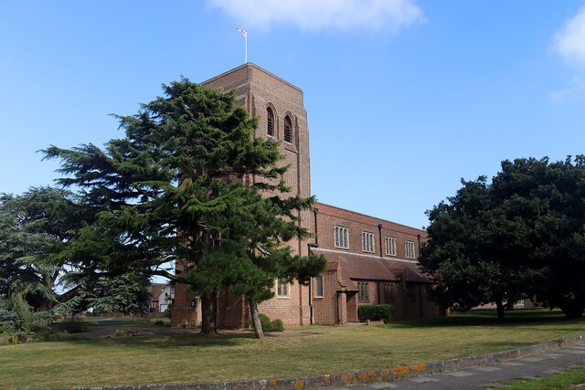
Image: © David Kemp Taken: 2 Sep 2023
The church dates from 1934-5.
Images are licensed for reuse under creativecommons.org/licenses/by-sa/2.0
Image Location
Latitude
51.532185
Longitude
0.761589