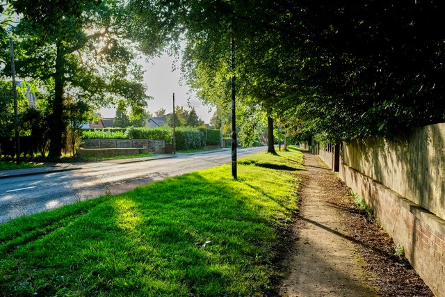
Hale Road, Hale Barns
Introduction
The photograph on this page of Hale Road, Hale Barns by Anthony O'Neil as part of the Geograph project.
The Geograph project started in 2005 with the aim of publishing, organising and preserving representative images for every square kilometre of Great Britain, Ireland and the Isle of Man.
There are currently over 7.5m images from over 14,400 individuals and you can help contribute to the project by visiting https://www.geograph.org.uk

Image: © Anthony O'Neil Taken: 30 Aug 2023
Looking in the direction of Hale Barns village: the area in the distance was the site of Prospect House in the late 19th century. Opposite, at that time, was Easter Farm, and the road was then called Easter Road. In the 20th century, the original house was demolished and replaced by a more modest building (which stands today). Most of the estate was sold for house building in the 1950s at which time there was a great extension of suburban development to the south west of Hale Barns. Prospect House had been the country home of Sam Brooks - a banker and calico printer - who was said to be the richest man in the North West and left £6M in cash at his death (the modern day equivalent of around £1 billion). On the land to the right of the photo, he built the beginnings of an ornamental carriageway intended to link up with his land holdings in south Manchester. This is the latter-day Brooks Drive, where none of the properties are less than £1M.
Image Location


