Park Hall Road in Mansfield Woodhouse
Introduction
The photograph on this page of Park Hall Road in Mansfield Woodhouse by Jonathan Clitheroe as part of the Geograph project.
The Geograph project started in 2005 with the aim of publishing, organising and preserving representative images for every square kilometre of Great Britain, Ireland and the Isle of Man.

There are currently over 7.5m images from over 14,400 individuals and you can help contribute to the project by visiting https://www.geograph.org.uk
Park Hall Road in Mansfield Woodhouse
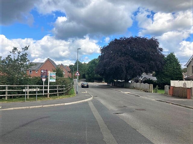
Image: © Jonathan Clitheroe Taken: 30 Aug 2023
Pictured at its junction with Trafalgar Way. More new-builds are in evidence here at the northernmost edge of the town. The tree on the right of picture is a mature copper beech.
Images are licensed for reuse under creativecommons.org/licenses/by-sa/2.0
Image Location
Latitude
53.178449
Longitude
-1.190051