Footpath connecting Scott Hall Road to Wood Lane
Introduction
The photograph on this page of Footpath connecting Scott Hall Road to Wood Lane by Roger Templeman as part of the Geograph project.
The Geograph project started in 2005 with the aim of publishing, organising and preserving representative images for every square kilometre of Great Britain, Ireland and the Isle of Man.

There are currently over 7.5m images from over 14,400 individuals and you can help contribute to the project by visiting https://www.geograph.org.uk
Footpath connecting Scott Hall Road to Wood Lane
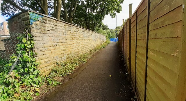
Image: © Roger Templeman Taken: 15 Aug 2023
There is an Ordnance Survey benchmark Image on the near end of the wall (path face) on the left hand side of the path
Images are licensed for reuse under creativecommons.org/licenses/by-sa/2.0
Image Location


Leaflet Map data © OpenStreetMap
Latitude
53.831807
Longitude
-1.542166