Brunswick Park Road, London N11
Introduction
The photograph on this page of Brunswick Park Road, London N11 by Christine Matthews as part of the Geograph project.
The Geograph project started in 2005 with the aim of publishing, organising and preserving representative images for every square kilometre of Great Britain, Ireland and the Isle of Man.

There are currently over 7.5m images from over 14,400 individuals and you can help contribute to the project by visiting https://www.geograph.org.uk
Brunswick Park Road, London N11
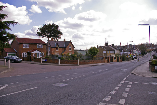
Image: © Christine Matthews Taken: 9 Apr 2008
Looking down Brunswick Park Road we can see Marshalls Close on the left. Falkland Avenue is on the right.
Images are licensed for reuse under creativecommons.org/licenses/by-sa/2.0
Image Location
Latitude
51.620575
Longitude
-0.142341