Cycle route descending to the River Irk
Introduction
The photograph on this page of Cycle route descending to the River Irk by Kevin Waterhouse as part of the Geograph project.
The Geograph project started in 2005 with the aim of publishing, organising and preserving representative images for every square kilometre of Great Britain, Ireland and the Isle of Man.

There are currently over 7.5m images from over 14,400 individuals and you can help contribute to the project by visiting https://www.geograph.org.uk
Cycle route descending to the River Irk
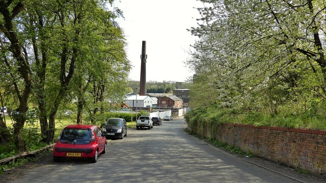
Image: © Kevin Waterhouse Taken: 26 Apr 2023
A view of Smedley Lane which gives a crossing of the river and allows cyclists to reach Queen's Park
Images are licensed for reuse under creativecommons.org/licenses/by-sa/2.0
Image Location
Latitude
53.506191
Longitude
-2.227931