
The A1031 in Theddlethorpe St Helen
Introduction
The photograph on this page of The A1031 in Theddlethorpe St Helen by David Lally as part of the Geograph project.
The Geograph project started in 2005 with the aim of publishing, organising and preserving representative images for every square kilometre of Great Britain, Ireland and the Isle of Man.

There are currently over 7.5m images from over 14,400 individuals and you can help contribute to the project by visiting https://www.geograph.org.uk
The A1031 in Theddlethorpe St Helen
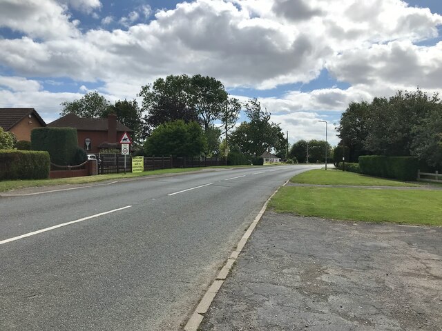
Image: © David Lally Taken: 19 Aug 2023
The yellow banner on the right is protesting against plans for a nuclear waste dump. Presumably this is planned for the now defunct gas terminal land to the south of the village. However latest information is that the site is to be used for carbon capture, refilling the gas fields with their own combustion product. https://www.business-live.co.uk/economic-development/huge-carbon-capture-project-launches-23777045
Images are licensed for reuse under creativecommons.org/licenses/by-sa/2.0
Image Location

Latitude
53.372843
Longitude
0.22166