Littlemoor Lane, Thorner
Introduction
The photograph on this page of Littlemoor Lane, Thorner by Christine Johnstone as part of the Geograph project.
The Geograph project started in 2005 with the aim of publishing, organising and preserving representative images for every square kilometre of Great Britain, Ireland and the Isle of Man.

There are currently over 7.5m images from over 14,400 individuals and you can help contribute to the project by visiting https://www.geograph.org.uk
Littlemoor Lane, Thorner
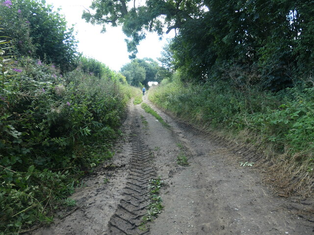
Image: © Christine Johnstone Taken: 15 Aug 2023
A public footpath, heading south-east from the village. The large-scale OS map surveyed in 1845-47 shows this lane leading to the now vanished Little Moor House.
Images are licensed for reuse under creativecommons.org/licenses/by-sa/2.0
Image Location
Latitude
53.855127
Longitude
-1.426372